Who has the strongest web satellite map?
by lvichi on 2008-07-26 12:37:52
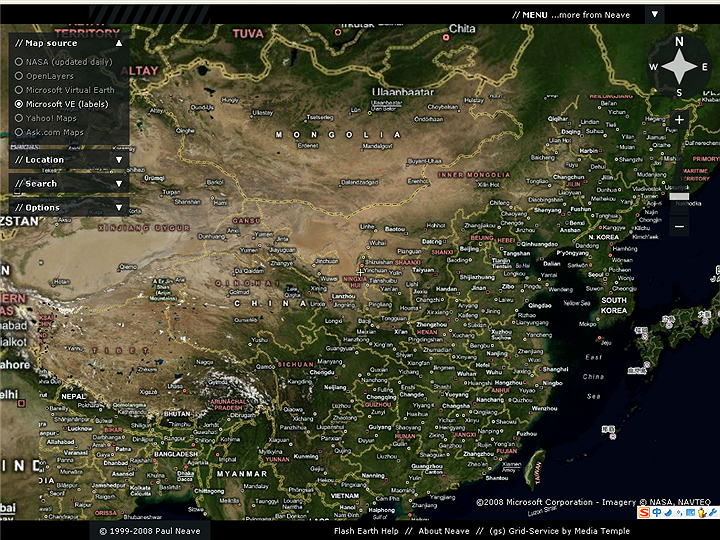
[FlashEarth] is a Flash-based online satellite map that incorporates five satellite search engines. The NASA satellite images are updated daily, but they aren't very detailed, only suitable for viewing satellite cloud charts to roughly understand weather conditions.
Openlayers is somewhat redundant, being a terrain inspection tool at the "national level" range.
The rest include Microsoft's VE, Yahoo! Maps, and Ask.com Maps.
Well, let’s take a look at how these three contenders compare with the web version of Google Earth.