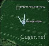
Google Maps has updated some of its satellite images, but...
by chentao1006 on 2006-10-04 04:17:03
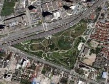
Today I found that Google Maps has updated its satellite images, but what I can't understand is that the current photo data is older than the original one.